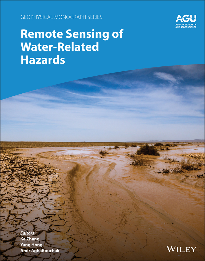
<p><b>Applications of remote sensing technology for monitoring and predicting water-related hazards</b></p> <p>Water-related hazards such as floods and droughts have serious impacts on society. Their incidence has increased in recent decades, a trend set to continue with ongoing climate change. Adaptation and mitigation measures require accurate detection, monitoring, and forecasting, much of which comes from remote sensing technologies.</p> <p><i>Remote Sensing of Water-Related Hazards</i> takes an interdisciplinary approach, presenting recent advances in the available data, sensors, models, and indicators developed for monitoring and prediction.</p> <p>Volume highlights include:</p> <ul> <li>Progress in remote sensing of precipitation, storms, and tornados</li> <li>Different techniques for flood mapping, forecasting, and early warning</li> <li>Integrated approach for predicting flood and landslide cascading hazards</li> <li>Satellite monitoring of water cycle variation, water scarcity, and drought conditions</li> <li>Multi-indicator and multi-sensor approaches for quantifying drought impacts </li> </ul> <p>The American Geophysical Union promotes discovery in Earth and space science for the benefit of humanity. Its publications disseminate scientific knowledge and provide resources for researchers, students, and professionals.</p> <p> </p>
Earth sciences
Remote Sensing of Water-Related Hazards
Original price was: ₹15,062.00.₹11,297.00Current price is: ₹11,297.00.
This book is currently not in stock. You are pre-ordering this book.

